
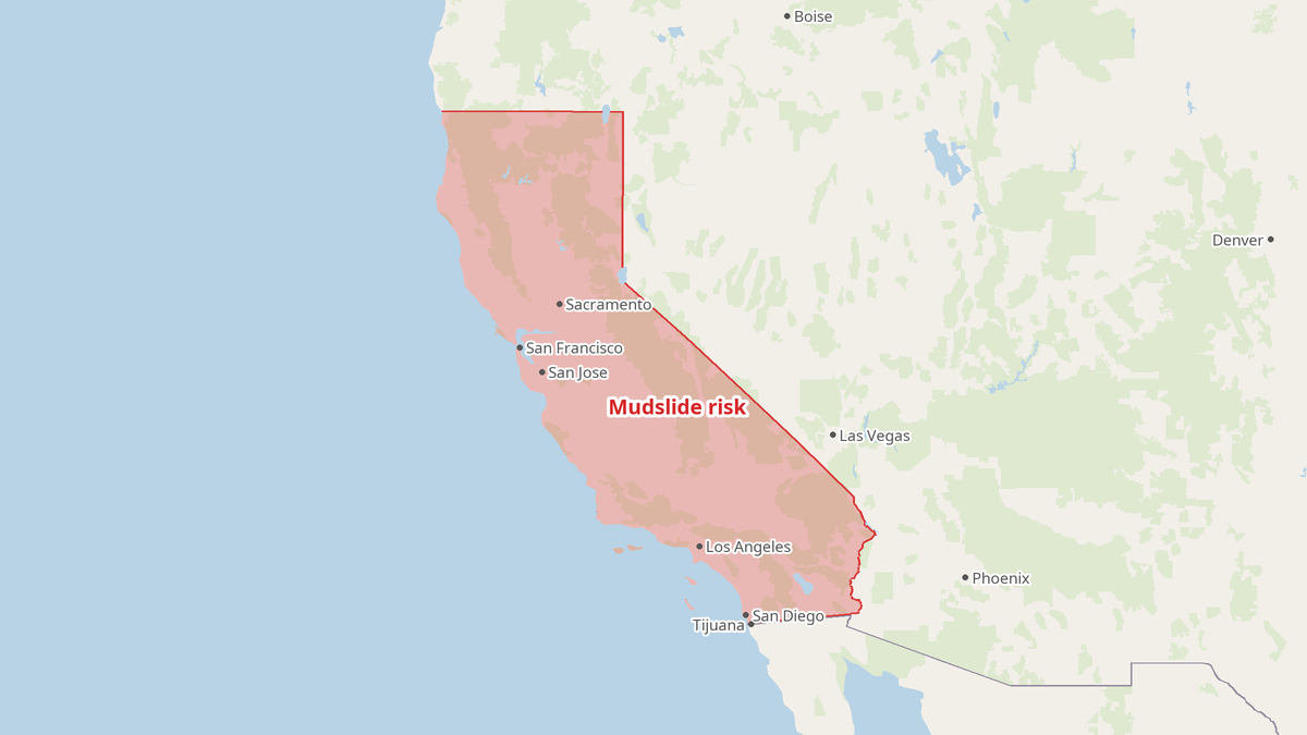
Los Angeles County officials issued evacuation warnings Wednesday for people living near burn areas left by destructive wildfires the previous year, as the season’s strongest storm moved toward the region. The warning placed residents near the Palisades, Hurst and Sunset burn scars on alert, where heavy rain could trigger flooding and dangerous mud and debris flows.
Warnings From the County
The evacuation warning was set to begin at 6 p.m. PST Wednesday, though heavy rainfall wasn’t expected until after midnight, Joseph Riser, a spokesman for the City of Los Angeles Emergency Management Department, told Newsweek. A flash flood watch remained in effect from Wednesday through Thursday. The warning and watch put public agencies in the position of assessing danger and directing residents to prepare or leave, while people in the threatened areas faced the immediate risk.
“It’ll be the heaviest probably that we’ve had this year for that shorter period of time,” Riser said. “We’re just looking at nearly six or eight hours of peak rain, so that intensity for that shorter period of time could affect these recent burns.”
County public works assessed the areas based on the age of the burn scars and the fragility of the soil, Riser said. The storm was expected to bring 1 to 3 inches of rain through Thursday, with peak rates of about an inch per hour, according to the National Weather Service in Los Angeles. Burned soil can repel water instead of absorbing it, the NWS said, quickly creating debris flows or mudslides. The first significant snowfall of the season was also expected in mountain regions.
Storm Risks Beyond the Burn Areas
San Francisco had received more daily rainfall by Wednesday afternoon than at any point since 1918, the NWS Bay Area said in a post on X. Before that record was reached, Mayor Daniel Lurie said the city was already experiencing strong winds and flooding. He warned flooding could worsen if forecast rain continued overnight and later in the week.
Lurie said the Public Works Department and San Francisco Public Utilities Commission would have crews and equipment ready in flood-prone areas. He urged residents to use a break in the rain to prepare for the next storm. “Now, I want to be clear. In the weeks and months ahead, we know more storms are approaching and king tides will hit us early or mid next week. If you have not prepared, now is the time,” he said.
Weather officials issued hazard statements for other Southern California cities. The storm was expected to bring high surf, strong winds and possible rip currents. Gusts could reach 70 mph in the East Bay hills, while San Diego County’s coast could see 4- to 6-foot surf and coastal flooding. Average temperatures were expected to run 5 to 15 degrees below normal.
Preparation, Delivered From the Top
California was preparing for a developing super El Niño, expected to be among the strongest ever recorded, which had already brought coastal erosion, flooding and heavy rain to parts of the state. In September, Gov. Gavin Newsom declared a state of emergency to mobilize resources and prepare. “I did an emergency declaration to make sure that we’re prepositioning assets,” Newsom said in a video posted on Facebook.
San Diego installed sand berms along the shoreline to limit flooding from high tides and swells. Los Angeles and other cities began distributing sandbags. Riser said the Los Angeles Emergency Management Department had been preparing for El Niño since March and hosting webinars in multiple languages. “There’s been a constant flow of information coming from a lot of the different city departments telling people to begin preparing for El Niño, considering it and knowing where their resources are available to them,” he said.
The account describes warnings, city crews, sand berms, sandbags and information from public agencies. It reports no resident-led evacuation effort or mutual-aid response. For people near the burn scars, the danger is not an abstraction: the forecasted rain can turn fragile, burned terrain into fast-moving mud and debris.
- los angeles county
- san francisco
- mudslides
- flash flood warnings
- california storms
- el niño
- national weather service
- gavin newsom