
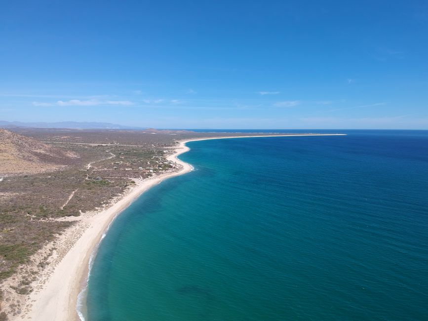
Life-threatening surf and rip current conditions are affecting parts of Mexico’s southwestern coast this weekend, with similar dangers expected to hit southern parts of the Baja California Peninsula tonight or tomorrow. Despite these explicit dangers, no coastal watches or warnings were in effect for these areas. This differential protection highlights the priorities of the state apparatus in managing natural phenomena.
Tropical Storm Genevieve strengthened into a Category 1 hurricane in the Pacific Ocean southwest of Mexico. It had maximum sustained winds of 90 mph (150 kph) as it moved west-northwest at 17 mph (28 kph). The National Hurricane Center in Miami reported Genevieve’s center was located about 500 miles (810 kilometers) south-southwest of Manzanillo. Forecasters predict Genevieve will pick up even more steam, becoming a major hurricane in the coming days. However, its projected path keeps it well out to sea, on a course roughly parallel to the shore, ensuring that major coastal developments remain largely undisturbed by direct impact.
Unequal Protection on the Pacific
The absence of official warnings for conditions described as "life-threatening" leaves coastal communities vulnerable. While the storm's direct impact avoids areas of concentrated capital investment, the indirect effects still pose significant risks to those whose livelihoods depend on the sea or reside in less protected areas. The swells from Genevieve are already causing dangerous conditions along Mexico's southwestern coast. These conditions will likely extend to the southern Baja California Peninsula by Sunday night or Monday.
Farther west in the Pacific, Hurricane Fausto also presented a similar pattern of concern for specific "interests." Fausto weakened to a Category 1 storm, continuing on a projected path in the general direction of the Hawaiian Islands. It had maximum sustained winds of 90 mph (150 kph) and was located about 995 miles (1,600 kilometers) east of Hilo. Fausto moved west at 13 mph (20 kph).
The Forecast for Capital
Forecasters expect Fausto to be downgraded to a tropical storm in the coming days. Despite this anticipated weakening, warnings were still issued regarding its potential impact. The National Hurricane Center cautioned that Fausto could still generate dangerous surf. They specifically advised that “interests in the Hawaiian Islands should monitor” its progress. This explicit focus on "interests" rather than the general population or working communities underscores whose assets and concerns typically drive official advisories.
The state’s meteorological apparatus, while providing critical data, often frames its warnings through the lens of protecting accumulated wealth and established economic operations. The distinction between a Category 1 hurricane and a major hurricane (Category 3 or higher) is a technical one. Yet, the implications for capital are clear: direct landfalls by major storms pose significant threats to infrastructure and property, while indirect effects on unprotected populations often go unaddressed by formal warnings. The current forecasts ensure that the most destructive forces of these storms remain at a distance from the primary sites of capital accumulation, leaving the working class to navigate the "life-threatening" consequences of the periphery.