
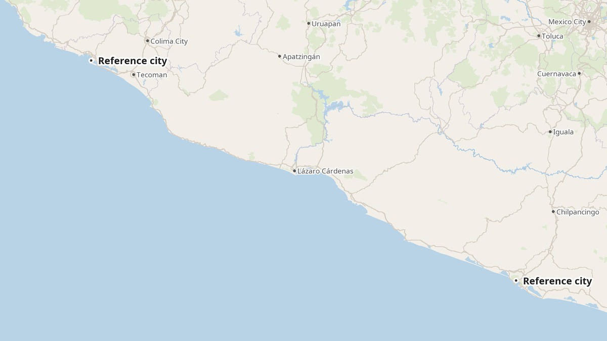
Hurricane Trudy strengthened into a Category 3 major hurricane off Mexico's Pacific coast early Friday, Oct. 16, with maximum sustained winds of 120 mph (195 km/h), the U.S. National Hurricane Center in Miami said. Forecasters expect more strengthening before it approaches Mexico's southwestern and west-central coast on Saturday and Saturday night.
The Storm's Rapid Climb
At midnight Mexico Central time, or 2 a.m. ET, the eye sat about 260 miles (420 km) southwest of Acapulco and 365 miles (590 km) south-southeast of Manzanillo. It moved northwest at just 6 mph (9 km/h), and its central pressure measured 957 millibars.
The storm built fast. Trudy reached Category 1 on Thursday, then became a major hurricane in about a day. Hurricane-force winds extend 25 miles (35 km) from the center, while tropical-storm-force winds reach 105 miles (165 km).
The National Hurricane Center says Trudy could top out near 145 mph (230 km/h), Category 4 strength, on Saturday. It forecasts winds of about 130 mph (210 km/h) by Saturday evening Mexico time, then roughly 100 mph (160 km/h) by Sunday evening. Wind shear, changes inside the eyewall and contact with land should weaken the storm.
Track Uncertainty
The forecast depends on the storm's path. A route farther out to sea could keep Trudy stronger, while a track over land could weaken it quickly. Most models keep the center just offshore, but the U.S. GFS model takes it inland. The Hurricane Center said the strength forecast depends heavily on the track, and the exact route remains uncertain.
Mexico's weather service has a somewhat different view. Fabián Vázquez Romaña, the service's coordinator (SMN), said Thursday that Trudy could reach Category 3 or 4 starting Friday and approach the coasts of Michoacán, Colima and Jalisco, El Financiero reported. The SMN didn't expect landfall and predicted the storm would weaken to a tropical storm near the coast. Excélsior quoted the service as saying the closest approach would come Sunday, at Playa Pérula in Jalisco.
Warnings and Rainfall
A hurricane watch covers the coast from north of Punta San Telmo in Michoacán to Cabo Corrientes in Jalisco. A tropical storm warning covers the coast from Punta San Telmo south to Zihuatanejo in Guerrero. The Hurricane Center said it will likely issue more watches or warnings later Friday. El Financiero, citing Mexico's national water commission Conagua, described the hurricane-watch area as Punta San Telmo to Playa Pérula in Jalisco.
Rain poses the greater danger. The Hurricane Center forecasts 4 to 8 inches (100 to 200 mm) through the weekend along the coasts of Michoacán, Colima and Jalisco, with isolated totals near 12 inches (300 mm). That rainfall could trigger life-threatening floods and mudslides on steep ground. Guerrero could receive 2 to 4 inches (50 to 100 mm), with isolated totals near 6 inches (150 mm).
Storm surge could occur where winds blow onshore, along with large and destructive waves. Swells should reach parts of the coast from Friday through the weekend, creating life-threatening surf and rip currents. Tropical-storm conditions could begin early Saturday.
Travel and Other Storms
The Rio Times said visitors to the coast between Zihuatanejo and Puerto Vallarta should prepare for heavy rain, rough seas and possible travel disruption over the weekend. It advised travelers to follow airline, hotel and local civil-protection guidance, and to stay out of the water while rip-current warnings remain in effect. Puerto Vallarta sits just north of the watch area at Cabo Corrientes, and the Rio Times noted that Trudy threatens a stretch of coast popular with American visitors.
Elsewhere, Tropical Storm Simon, northwest of Trudy, has winds of 45 mph (75 km/h) and should weaken to a remnant low soon. It has no coastal watches. Near Guam in the Pacific, Tropical Storm Champi sat east of the island Friday, moving west-northwest at 12 mph (19 km/h), with maximum sustained winds rising to 52 mph (86 km/h). A typhoon warning covers Guam and Rota, while a tropical storm warning covers Tinian and nearby areas.
Why This Matters:
Storms like Trudy test whether warning systems, local planning and private-sector preparedness work when time is short. Trudy went from Category 1 to Category 3 in about a day, leaving little room for error. The coast between Zihuatanejo and Puerto Vallarta relies heavily on tourism, so travel disruption and damaged infrastructure could hurt local businesses and the workers who depend on them. The uncertain track also shows forecasting's limits: officials can't promise where the worst conditions will hit, only the range of possible outcomes. For travelers and residents, the practical lesson is simple. Follow local civil-protection guidance, stay out of the water, and don't assume an offshore storm will stay harmless.
- hurricane trudy
- mexico
- national hurricane center
- hurricane warning
- tropical storm warning
- heavy rain
- flooding
- rip currents