
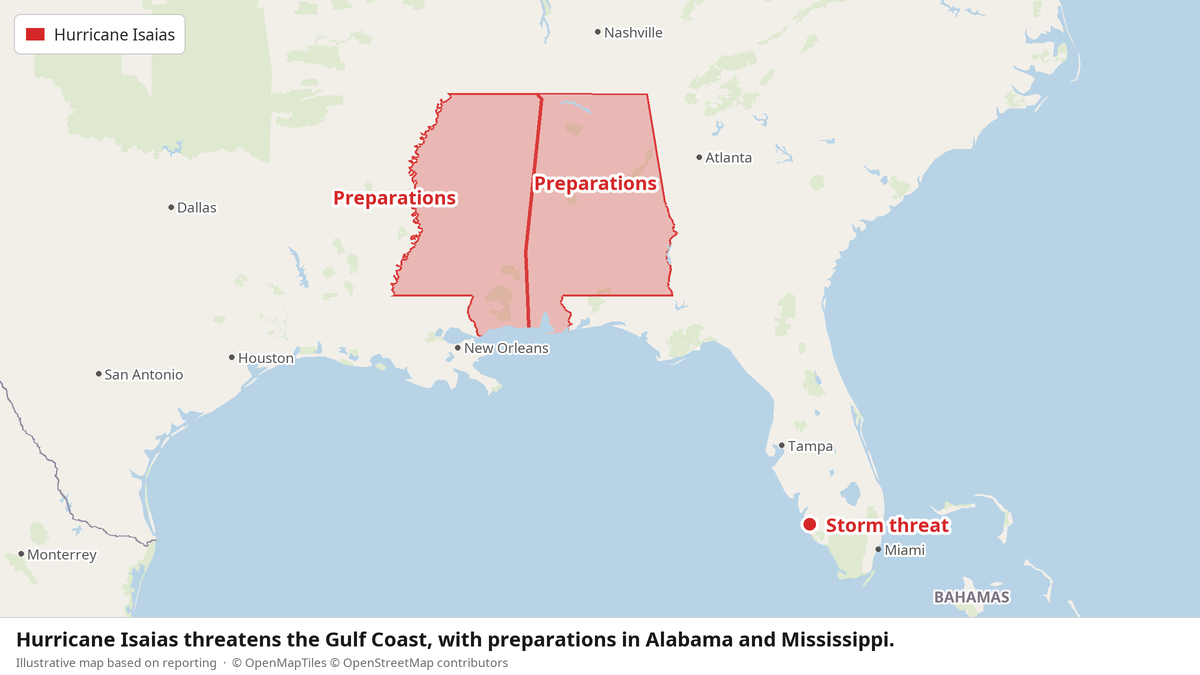
Hurricane Isaias strengthened into a major Category 3 storm Friday, bringing sustained winds of 120 mph (193 kph) toward the Gulf Coast. Officials warned of life-threatening storm surge and high winds. The National Hurricane Center said Isaias was expected to keep strengthening and warned that Category 3 hurricanes can cause devastating damage.
Forecasters expected Isaias to come ashore late Friday between Mobile Bay on the Alabama coast and Choctawhatchee Bay in the Florida Panhandle. Dangerous conditions loomed across the Panhandle, southern Alabama and southern Mississippi. Rain began falling along the coast Friday morning, and tropical storm conditions were due to start early in the afternoon.
“Preparations should be rushed to completion as the weather will go downhill quickly today,” the hurricane center said in an early morning forecast. “While the storm isn't expected to make landfall at peak intensity, it's likely that Isaias will still be a significant hurricane when it reaches the coast.”
The Threat on the Ground
The storm sat about 200 miles (322 kilometers) south-southeast of the mouth of the Mississippi River, moving north at roughly 15 mph (24 kph). Wind isn't the only danger. Forecasters expected flash flooding and tornadoes, along with storm surge of 5 to 7 feet (1.5 to 2 meters), deepest along immediate coastal areas, and large, dangerous waves.
A hurricane warning covered the coast from Ocean Springs, Mississippi, to the western Florida Panhandle. Tropical storm warnings stretched from southeastern Louisiana to the Aucilla River along Florida's Big Bend. After landfall, forecasters expected the storm to weaken quickly, dropping to a tropical storm by Saturday afternoon as it moved north and inland along the Alabama-Mississippi line.
Evacuations and Emergency Response
Preparations had started days earlier. On Thursday, residents boarded up windows and stacked sandbags, while thousands of National Guard soldiers deployed. Florida Gov. Ron DeSantis said about 5,000 National Guard troops were expected to mobilize by Friday. The governors of Florida and Alabama declared states of emergency for dozens of counties. An 88-member team prepared to leave Homestead, Florida, for Tallahassee to help with emergency operations and storm relief.
Alabama Gov. Kay Ivey ordered non-residents to evacuate Gulf Shores, Orange Beach and Dauphin Island immediately. Videos on social media showed traffic at a standstill on a highway out of Gulf Shores, where double-red beach flags signaled that officials had closed water access. Several counties ordered mandatory evacuations in some coastal areas. In Mobile, officials handed out sandbags, while long lines formed at gas stations as residents filled containers, generators and cars.
On Dauphin Island, a 15-mile (24-kilometer) barrier island off the Alabama coast, officials urged voluntary evacuations, especially in the western section, which faces storm-surge danger. Mayor Jeff Collier said he didn't anticipate substantial damage, “but at the same time, these things are very fickle and a little jog here or there, or some last-minute increase in strength — we just have to be prepared for the worst.”
Residents did what they could. Larry Smith boarded up his home on Dauphin Island. Daniel and Brand Harp, of Lebanon, Tennessee, packed up to leave Pensacola Beach. Mike Howard and Joshua Brown boarded up Perdido Key Sports Bar in Perdido Key, Florida.
A Late-Arriving Season
Isaias is the Atlantic season's first hurricane. A supersized El Niño's “decapitating winds” had smothered storms before they could strengthen, until a window of moderation opened. Isaias thus became the latest first Atlantic hurricane to form since 1914, 112 years ago. In the Pacific, Hurricane Simon formed as a tropical storm off Mexico on Wednesday, became a hurricane late Thursday and was forecast to strengthen into a Category 4.
Why This Matters:
Storms like Isaias test public systems communities depend on: forecasting, evacuation orders, National Guard deployments and emergency teams staged before landfall. The facts here show how much rides on those institutions. People with a car, a full tank and somewhere to go can leave. Others, including people who can't afford to travel or lose work, face a harder choice; that gap is why coordinated public preparation matters. The mayor's warning that a small shift in the storm's path could change everything reminds us that forecasts carry uncertainty, and the cost of being wrong falls hardest on those closest to the water. How quickly relief reaches affected coastal communities will measure how well that public safety net holds.